Buildings on Prattshayes Farm
Introduction
The photograph on this page of Buildings on Prattshayes Farm by Tony Atkin as part of the Geograph project.
The Geograph project started in 2005 with the aim of publishing, organising and preserving representative images for every square kilometre of Great Britain, Ireland and the Isle of Man.

There are currently over 7.5m images from over 14,400 individuals and you can help contribute to the project by visiting https://www.geograph.org.uk
Buildings on Prattshayes Farm
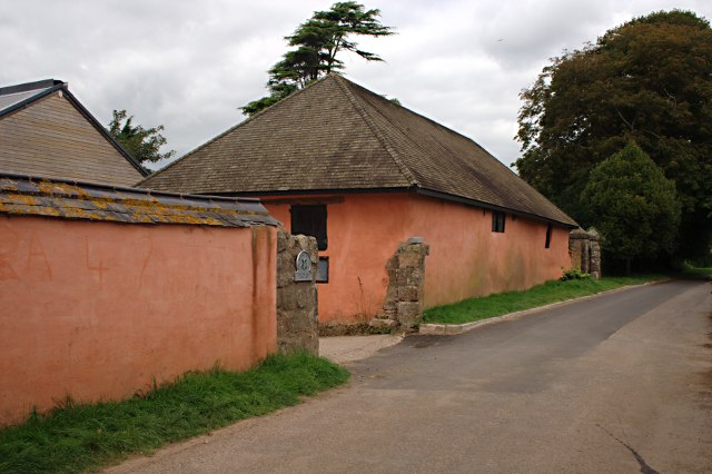
Image: © Tony Atkin Taken: 17 Aug 2009
Looking along Mear Lane at some of the distinctive red washed farm buildings of Prattshayes Farm. These are now owned by the National Trust and the farm hosts a camp site.
Images are licensed for reuse under creativecommons.org/licenses/by-sa/2.0
Image Location
Latitude
50.618009
Longitude
-3.379693