Sussex Border Path
Introduction
The photograph on this page of Sussex Border Path by Simon Carey as part of the Geograph project.
The Geograph project started in 2005 with the aim of publishing, organising and preserving representative images for every square kilometre of Great Britain, Ireland and the Isle of Man.

There are currently over 7.5m images from over 14,400 individuals and you can help contribute to the project by visiting https://www.geograph.org.uk
Sussex Border Path
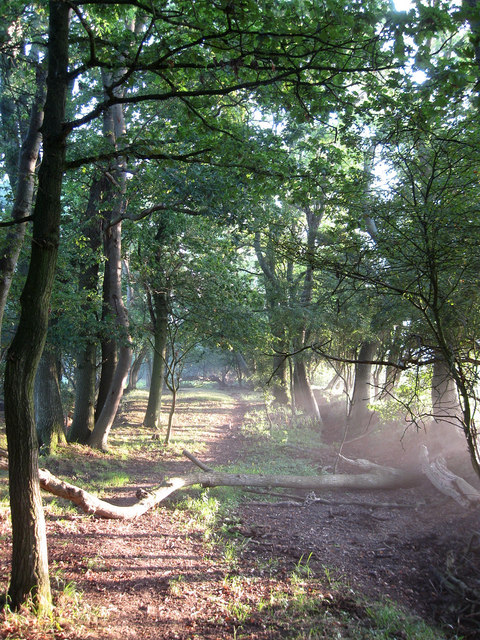
Image: © Simon Carey Taken: 19 Aug 2009
The path is actually a bridleway between Ditchling and Wivelsfield Green and here, south of Ditchling Common it follows an ancient green lane between the small fields. The early morning sun and mist are evident.
Images are licensed for reuse under creativecommons.org/licenses/by-sa/2.0
Image Location
Latitude
50.937499
Longitude
-0.098813