Houses in Wetherby Gardens
Introduction
The photograph on this page of Houses in Wetherby Gardens by Derek Harper as part of the Geograph project.
The Geograph project started in 2005 with the aim of publishing, organising and preserving representative images for every square kilometre of Great Britain, Ireland and the Isle of Man.

There are currently over 7.5m images from over 14,400 individuals and you can help contribute to the project by visiting https://www.geograph.org.uk
Houses in Wetherby Gardens
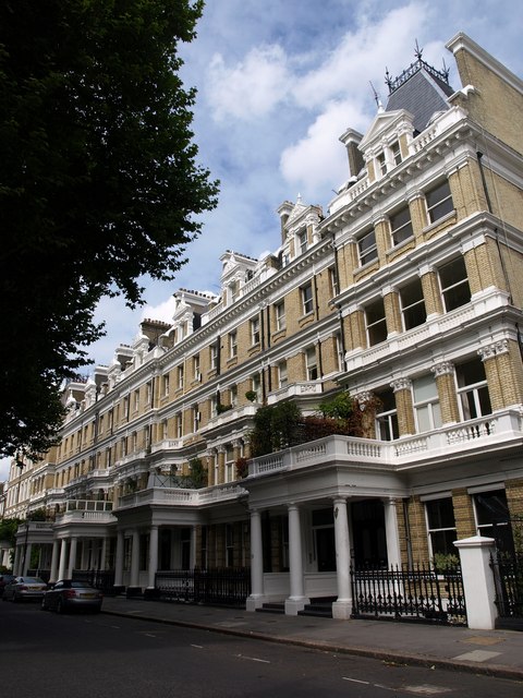
Image: © Derek Harper Taken: 31 Jul 2009
This row, a terrace of 9, was built in the early 1880s by William Willett "to plans provided by H. B. Measures, a supervising architect", filling in a gap left by John Spicer. As a result, the end terrace on the right is number 19a, no 20 having already been built in the 1870s. http://www.barrettssolicitors.co.uk/South%20Kensington/streets/wetherby_gardens.htm
Images are licensed for reuse under creativecommons.org/licenses/by-sa/2.0
Image Location
Latitude
51.492101
Longitude
-0.184302