Four Acres
Introduction
The photograph on this page of Four Acres by Simon Carey as part of the Geograph project.
The Geograph project started in 2005 with the aim of publishing, organising and preserving representative images for every square kilometre of Great Britain, Ireland and the Isle of Man.

There are currently over 7.5m images from over 14,400 individuals and you can help contribute to the project by visiting https://www.geograph.org.uk
Four Acres
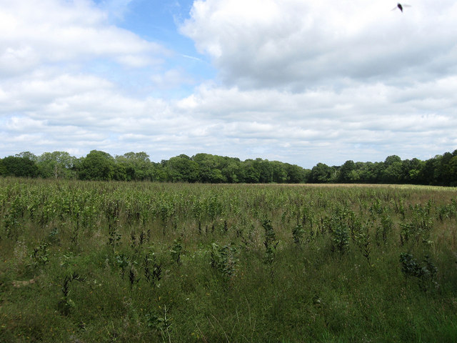
Image: © Simon Carey Taken: 16 Aug 2009
The name of this part of the field according to the 1843 tithe map. The modern enlarged field is an amalgamation of three; Four Acres, Two Acres and Nine Acres so I guess that makes it Fifteen Acres now. The wood on the left is Lovers Walk and that to the right The Capers. The area was once part of Frankbarrow, a medieval deer park that was disparked in the 1530s.
Images are licensed for reuse under creativecommons.org/licenses/by-sa/2.0
Image Location
Latitude
50.959203
Longitude
-0.106186