Aylesbury Arm: The track crossing Bridge No 13 from the South
Introduction
The photograph on this page of Aylesbury Arm: The track crossing Bridge No 13 from the South by Chris Reynolds as part of the Geograph project.
The Geograph project started in 2005 with the aim of publishing, organising and preserving representative images for every square kilometre of Great Britain, Ireland and the Isle of Man.

There are currently over 7.5m images from over 14,400 individuals and you can help contribute to the project by visiting https://www.geograph.org.uk
Aylesbury Arm: The track crossing Bridge No 13 from the South
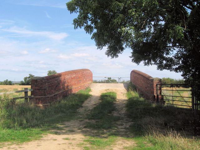
Image: © Chris Reynolds Taken: 16 Aug 2009
This Track follows the line of a greenway that was the road between Broughton (Oak Farm) and Puttenham some 200 years ago. Travel along the track towards Broughton: Image Travel along the track towards Puttenham: Image See Image and Image
Images are licensed for reuse under creativecommons.org/licenses/by-sa/2.0
Image Location
Latitude
51.820404
Longitude
-0.766596