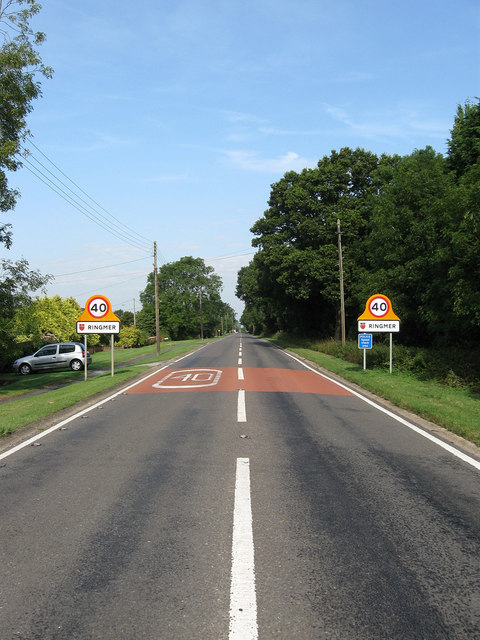
Laughton Road
Introduction
The photograph on this page of Laughton Road by Simon Carey as part of the Geograph project.
The Geograph project started in 2005 with the aim of publishing, organising and preserving representative images for every square kilometre of Great Britain, Ireland and the Isle of Man.
There are currently over 7.5m images from over 14,400 individuals and you can help contribute to the project by visiting https://www.geograph.org.uk

Image: © Simon Carey Taken: 8 Aug 2009
The B2124 which starts at Kennel Corner, the junction with the B2192, and heads to Laughton then beyond to a junction with the A22 near Holmes Hill. Formerly part of The Broyle, a former medieval deer park and common, that was enclosed in 1767. Turnpiked at the same time, like all the other highways travelling through the former park the road is very straight though unlike all other roads this one has a few kinks here and there to ensure it was able to align itself with the road when both the park and parish boundary had been reached at Broyle Place. This view looks into Ringmer down towards Kennel Corner.

