The road into Sheepscombe from Far End
Introduction
The photograph on this page of The road into Sheepscombe from Far End by Brian Robert Marshall as part of the Geograph project.
The Geograph project started in 2005 with the aim of publishing, organising and preserving representative images for every square kilometre of Great Britain, Ireland and the Isle of Man.

There are currently over 7.5m images from over 14,400 individuals and you can help contribute to the project by visiting https://www.geograph.org.uk
The road into Sheepscombe from Far End
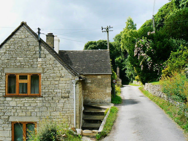
Image: © Brian Robert Marshall Taken: 22 Jul 2009
The speed limit on this road is 20 mph, quite fast enough. The view is west along the south-facing side of the Painswick Stream valley. Its steepness can be gauged from the placement of the house to the left.
Images are licensed for reuse under creativecommons.org/licenses/by-sa/2.0
Image Location
Latitude
51.79269
Longitude
-2.15524