Blake End Maize Maze
Introduction
The photograph on this page of Blake End Maize Maze by Ed Maxwell as part of the Geograph project.
The Geograph project started in 2005 with the aim of publishing, organising and preserving representative images for every square kilometre of Great Britain, Ireland and the Isle of Man.

There are currently over 7.5m images from over 14,400 individuals and you can help contribute to the project by visiting https://www.geograph.org.uk
Blake End Maize Maze
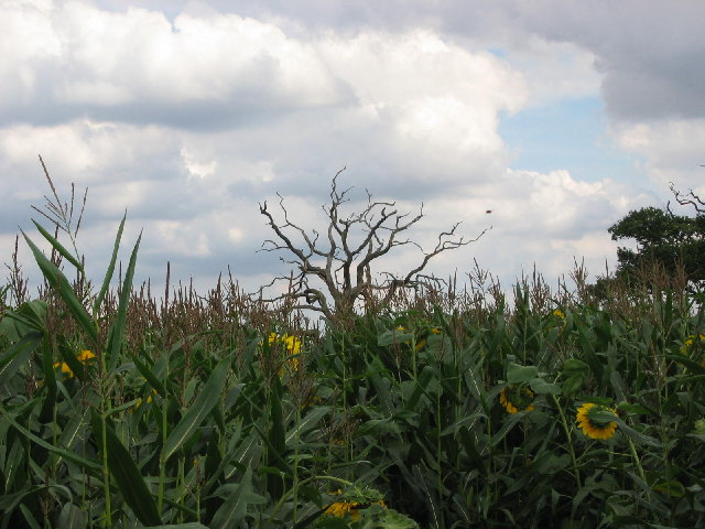
Image: © Ed Maxwell Taken: 15 Aug 2004
A maze, open to the public, in a dense field of sunflowers. This interesting tree is one of the few 'beacons' that assist escape! The maze is replanted each year in a different themed layout.
Images are licensed for reuse under creativecommons.org/licenses/by-sa/2.0
Image Location


Leaflet Map data © OpenStreetMap
Latitude
51.883989
Longitude
0.475898