Fore Street, Ivybridge
Introduction
The photograph on this page of Fore Street, Ivybridge by Derek Harper as part of the Geograph project.
The Geograph project started in 2005 with the aim of publishing, organising and preserving representative images for every square kilometre of Great Britain, Ireland and the Isle of Man.

There are currently over 7.5m images from over 14,400 individuals and you can help contribute to the project by visiting https://www.geograph.org.uk
Fore Street, Ivybridge
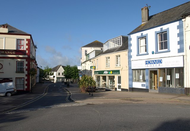
Image: © Derek Harper Taken: 23 Jul 2009
A very similar view to Image from the bridge over the Erme. On the left is the Exchange. "The Kings Arms, now the Exchange public house, received its licence to trade in 1832 from Sir John Rogers. Unfortunately the open mill leat serving the lower mills ran immediately outside the inn door. Customers leaving the premises had difficulty in avoiding this. Despite the publican's protests to the mill owners it remained uncovered. The public house was rebuilt and substantially changed in 1891." http://www.burrows.co.uk/ivybridge/03TheM.htm
Images are licensed for reuse under creativecommons.org/licenses/by-sa/2.0
Image Location
Latitude
50.389905
Longitude
-3.920453