Highland Street, Ivybridge
Introduction
The photograph on this page of Highland Street, Ivybridge by Derek Harper as part of the Geograph project.
The Geograph project started in 2005 with the aim of publishing, organising and preserving representative images for every square kilometre of Great Britain, Ireland and the Isle of Man.

There are currently over 7.5m images from over 14,400 individuals and you can help contribute to the project by visiting https://www.geograph.org.uk
Highland Street, Ivybridge
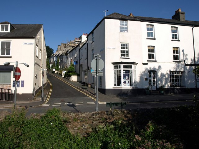
Image: © Derek Harper Taken: 23 Jul 2009
The street (the houses are shown more clearly in Image) was built in 1816 http://www.burrows.co.uk/ivybridge/03TheM.htm . In the foreground, to the right are buildings on Erme Road. The bank on the left begins the town centre shops on Fore Street. Seen from the bridge across the Erme.
Images are licensed for reuse under creativecommons.org/licenses/by-sa/2.0
Image Location
Latitude
50.390173
Longitude
-3.920605