Kings Road
Introduction
The photograph on this page of Kings Road by Simon Carey as part of the Geograph project.
The Geograph project started in 2005 with the aim of publishing, organising and preserving representative images for every square kilometre of Great Britain, Ireland and the Isle of Man.

There are currently over 7.5m images from over 14,400 individuals and you can help contribute to the project by visiting https://www.geograph.org.uk
Kings Road
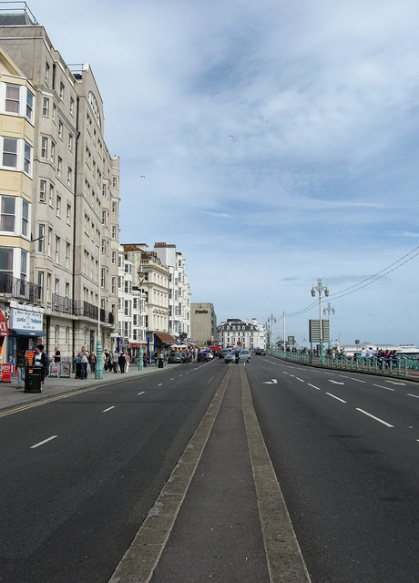
Image: © Simon Carey Taken: 20 Jul 2009
The A259 which runs along the coast throughout the city. The road was constructed in 1821 as previously those travelling east-west had to turn up Middle Street or East Street. The building on the left is a student hall of residence.
Images are licensed for reuse under creativecommons.org/licenses/by-sa/2.0
Image Location
Latitude
50.820305
Longitude
-0.142904