Bishops Cannings: Chandlers Lane
Introduction
The photograph on this page of Bishops Cannings: Chandlers Lane by Nigel Cox as part of the Geograph project.
The Geograph project started in 2005 with the aim of publishing, organising and preserving representative images for every square kilometre of Great Britain, Ireland and the Isle of Man.

There are currently over 7.5m images from over 14,400 individuals and you can help contribute to the project by visiting https://www.geograph.org.uk
Bishops Cannings: Chandlers Lane
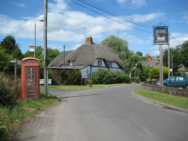
Image: © Nigel Cox Taken: 12 Jul 2009
The telephone box merits its own symbol on the Ordnance Survey's 1:50,000 scale mapping while the pub sign is for The Crown.
Images are licensed for reuse under creativecommons.org/licenses/by-sa/2.0
Image Location
Latitude
51.375943
Longitude
-1.948516