Greenacres Caravan Park
Introduction
The photograph on this page of Greenacres Caravan Park by Dr Patty McAlpin as part of the Geograph project.
The Geograph project started in 2005 with the aim of publishing, organising and preserving representative images for every square kilometre of Great Britain, Ireland and the Isle of Man.

There are currently over 7.5m images from over 14,400 individuals and you can help contribute to the project by visiting https://www.geograph.org.uk
Greenacres Caravan Park
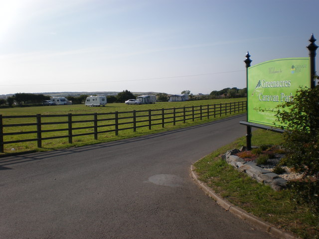
Image: © Dr Patty McAlpin Taken: 11 Jul 2009
This shows the entrance to Greenacres Caravan Park off the B1259 Lighthouse Road at Flamborough.
Images are licensed for reuse under creativecommons.org/licenses/by-sa/2.0
Image Location


Leaflet Map data © OpenStreetMap
Latitude
54.116165
Longitude
-0.099869