Sitting area in Pontyates
Introduction
The photograph on this page of Sitting area in Pontyates by Rose and Trev Clough as part of the Geograph project.
The Geograph project started in 2005 with the aim of publishing, organising and preserving representative images for every square kilometre of Great Britain, Ireland and the Isle of Man.

There are currently over 7.5m images from over 14,400 individuals and you can help contribute to the project by visiting https://www.geograph.org.uk
Sitting area in Pontyates
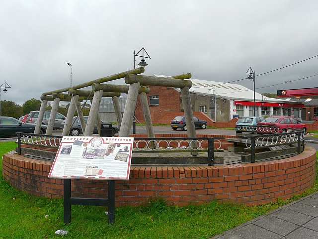
Image: © Rose and Trev Clough Taken: 14 Oct 2008
On Heol y Meinciau, opposite Image The information board describes the history of coal mining in the area. The timbers are a reconstruction of the props used down the mines.
Images are licensed for reuse under creativecommons.org/licenses/by-sa/2.0
Image Location
Latitude
51.752709
Longitude
-4.217951