Bloody Bones Lane
Introduction
The photograph on this page of Bloody Bones Lane by Stephen Craven as part of the Geograph project.
The Geograph project started in 2005 with the aim of publishing, organising and preserving representative images for every square kilometre of Great Britain, Ireland and the Isle of Man.

There are currently over 7.5m images from over 14,400 individuals and you can help contribute to the project by visiting https://www.geograph.org.uk
Bloody Bones Lane
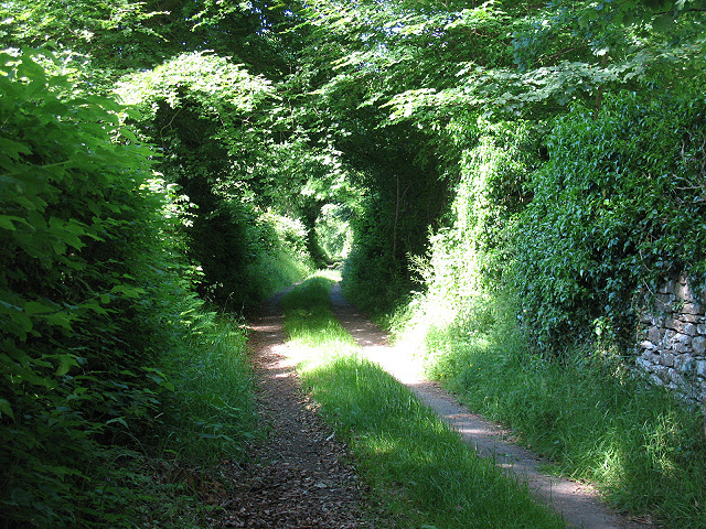
Image: © Stephen Craven Taken: 23 Jun 2009
The name of this footpath is shown as such on a street map, but what dark history lies behind the name? Possibly a skirmish in the Jacobite rebellion? An alternative derivation is that of "the place where cattle were buried during the cattle plague which ravaged the country in the year 1747" (from Legends & Historical Notes of North Westmorland by Thomas Gibson (1887), quoted by a site visitor). Now it's just the start of a footpath. Compare Image taken by another contributor just a couple of weeks earlier.
Images are licensed for reuse under creativecommons.org/licenses/by-sa/2.0
Image Location
Latitude
54.474671
Longitude
-2.353806