2009 : Pasture north west of Grove Lane
Introduction
The photograph on this page of 2009 : Pasture north west of Grove Lane by Maurice Pullin as part of the Geograph project.
The Geograph project started in 2005 with the aim of publishing, organising and preserving representative images for every square kilometre of Great Britain, Ireland and the Isle of Man.

There are currently over 7.5m images from over 14,400 individuals and you can help contribute to the project by visiting https://www.geograph.org.uk
2009 : Pasture north west of Grove Lane
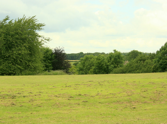
Image: © Maurice Pullin Taken: 20 Jun 2009
Near Kington St. Michael. The land drops into a valley on the other side of this field, which appears to have been recently mowed. A stream at the bottom runs east and joins the Bristol Avon near Christian Malford.
Images are licensed for reuse under creativecommons.org/licenses/by-sa/2.0
Image Location
Latitude
51.499674
Longitude
-2.148622