Junction of Vann Lane and Upper Vann Lane
Introduction
The photograph on this page of Junction of Vann Lane and Upper Vann Lane by Shazz as part of the Geograph project.
The Geograph project started in 2005 with the aim of publishing, organising and preserving representative images for every square kilometre of Great Britain, Ireland and the Isle of Man.

There are currently over 7.5m images from over 14,400 individuals and you can help contribute to the project by visiting https://www.geograph.org.uk
Junction of Vann Lane and Upper Vann Lane
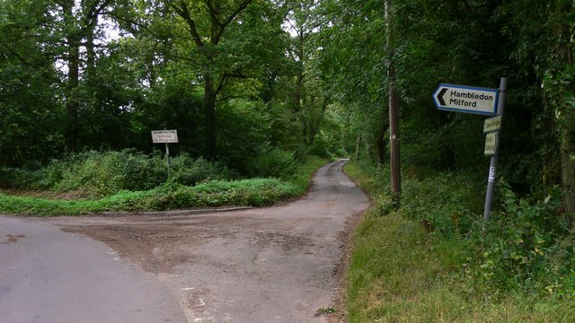
Image: © Shazz Taken: 9 Jul 2009
Upper Vann Lane is shown as unsuitable for through traffic and on Get-a-map it is shown only as a bridleway half a mile beyond this sign.
Images are licensed for reuse under creativecommons.org/licenses/by-sa/2.0
Image Location


Leaflet Map data © OpenStreetMap
Latitude
51.131872
Longitude
-0.597513