North Meiklemoss farm
Introduction
The photograph on this page of North Meiklemoss farm by Martyn Gorman as part of the Geograph project.
The Geograph project started in 2005 with the aim of publishing, organising and preserving representative images for every square kilometre of Great Britain, Ireland and the Isle of Man.

There are currently over 7.5m images from over 14,400 individuals and you can help contribute to the project by visiting https://www.geograph.org.uk
North Meiklemoss farm
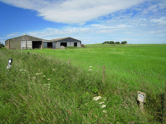
Image: © Martyn Gorman Taken: 5 Jul 2009
Farm buildings at North Meiklemoss farm surrounded by large arable fields. The small roadside plaque warns that BP's major oil pipeline passes under the road at this point.
Images are licensed for reuse under creativecommons.org/licenses/by-sa/2.0
Image Location
Latitude
57.375038
Longitude
-1.94486