Fields near Crannaford
Introduction
The photograph on this page of Fields near Crannaford by Derek Harper as part of the Geograph project.
The Geograph project started in 2005 with the aim of publishing, organising and preserving representative images for every square kilometre of Great Britain, Ireland and the Isle of Man.

There are currently over 7.5m images from over 14,400 individuals and you can help contribute to the project by visiting https://www.geograph.org.uk
Fields near Crannaford
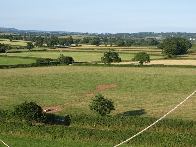
Image: © Derek Harper Taken: 1 Jul 2009
In the foreground is the lane between Jack-in-the-Green and Crannaford. Beyond, field stretch away across almost level land towards Southbrook. Taken from a hot air balloon, one of whose ropes dangles in front of the camera.
Images are licensed for reuse under creativecommons.org/licenses/by-sa/2.0
Image Location
Latitude
50.752531
Longitude
-3.396262