Carnoustie rooftops
Introduction
The photograph on this page of Carnoustie rooftops by Val Vannet as part of the Geograph project.
The Geograph project started in 2005 with the aim of publishing, organising and preserving representative images for every square kilometre of Great Britain, Ireland and the Isle of Man.

There are currently over 7.5m images from over 14,400 individuals and you can help contribute to the project by visiting https://www.geograph.org.uk
Carnoustie rooftops
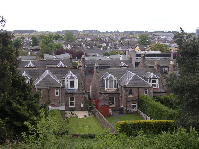
Image: © Val Vannet Taken: 30 May 2005
The view is taken from the crescent in the east of the grid square looking south towards the golf links and the wooded areas of MOD land at Buddon Ness
Images are licensed for reuse under creativecommons.org/licenses/by-sa/2.0
Image Location


Leaflet Map data © OpenStreetMap
Latitude
56.500459
Longitude
-2.724467