Stokeley Barton
Introduction
The photograph on this page of Stokeley Barton by Derek Harper as part of the Geograph project.
The Geograph project started in 2005 with the aim of publishing, organising and preserving representative images for every square kilometre of Great Britain, Ireland and the Isle of Man.

There are currently over 7.5m images from over 14,400 individuals and you can help contribute to the project by visiting https://www.geograph.org.uk
Stokeley Barton
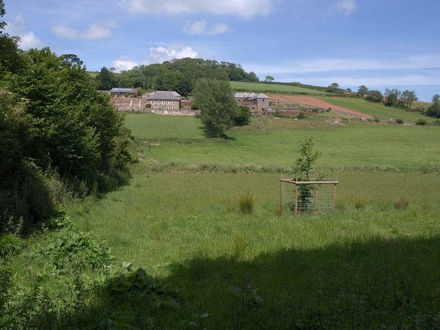
Image: © Derek Harper Taken: 16 Jun 2009
The five-bayed farmhouse on the left is listed http://www.imagesofengland.org.uk/Details/Default.aspx?id=99960&mode=adv . Stokeley Barton has a farm shop, pick-your-own, and farm walks along the hill behind. Seen from just the other side of the gate shown in Image
Images are licensed for reuse under creativecommons.org/licenses/by-sa/2.0
Image Location


Leaflet Map data © OpenStreetMap
Latitude
50.273245
Longitude
-3.664266