The Sheddings Pub
Introduction
The photograph on this page of The Sheddings Pub by Paul L as part of the Geograph project.
The Geograph project started in 2005 with the aim of publishing, organising and preserving representative images for every square kilometre of Great Britain, Ireland and the Isle of Man.

There are currently over 7.5m images from over 14,400 individuals and you can help contribute to the project by visiting https://www.geograph.org.uk
The Sheddings Pub
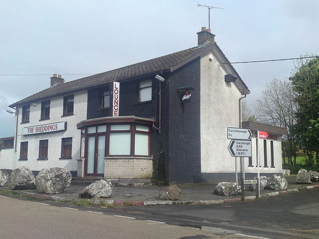
Image: © Paul L Taken: 23 May 2009
The Shedding Public House which as been closed since 2006.It is situated a mile down the road from the Halfway House.
Images are licensed for reuse under creativecommons.org/licenses/by-sa/2.0
Image Location
Latitude
54.921749
Longitude
-6.088149