Colehill: postbox № BH21 10, Leigh Road
Introduction
The photograph on this page of Colehill: postbox № BH21 10, Leigh Road by Chris Downer as part of the Geograph project.
The Geograph project started in 2005 with the aim of publishing, organising and preserving representative images for every square kilometre of Great Britain, Ireland and the Isle of Man.

There are currently over 7.5m images from over 14,400 individuals and you can help contribute to the project by visiting https://www.geograph.org.uk
Colehill: postbox № BH21 10, Leigh Road
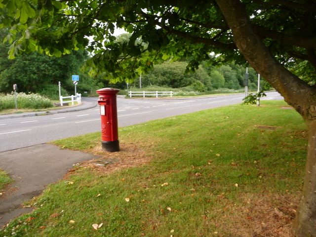
Image: © Chris Downer Taken: 10 Jun 2009
This postbox stands under the foliage of a tree on a grassy patch between Leigh and Brookside Roads, virtually on the boundary between Colehill parish and Wimborne Minster town. Its final collection occurs at 5:30pm on weekdays and at 11:30am on Saturdays.
Images are licensed for reuse under creativecommons.org/licenses/by-sa/2.0
Image Location
Latitude
50.798297
Longitude
-1.966461