St. Leonards: postbox № BH24 32, Boundary Lane
Introduction
The photograph on this page of St. Leonards: postbox № BH24 32, Boundary Lane by Chris Downer as part of the Geograph project.
The Geograph project started in 2005 with the aim of publishing, organising and preserving representative images for every square kilometre of Great Britain, Ireland and the Isle of Man.

There are currently over 7.5m images from over 14,400 individuals and you can help contribute to the project by visiting https://www.geograph.org.uk
St. Leonards: postbox № BH24 32, Boundary Lane
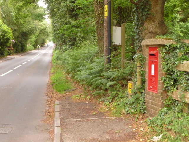
Image: © Chris Downer Taken: 8 Jun 2009
A cyclist has just ridden, towards Matchams or Ringwood, past this Elizabeth II-reign postbox which is set into its own brick pillar and is emptied each morning, except Sunday, at 9 o'clock.
Images are licensed for reuse under creativecommons.org/licenses/by-sa/2.0
Image Location
Latitude
50.819055
Longitude
-1.840105