Across Fields towards St Marys Pirton
Introduction
The photograph on this page of Across Fields towards St Marys Pirton by Robert Matin as part of the Geograph project.
The Geograph project started in 2005 with the aim of publishing, organising and preserving representative images for every square kilometre of Great Britain, Ireland and the Isle of Man.

There are currently over 7.5m images from over 14,400 individuals and you can help contribute to the project by visiting https://www.geograph.org.uk
Across Fields towards St Marys Pirton
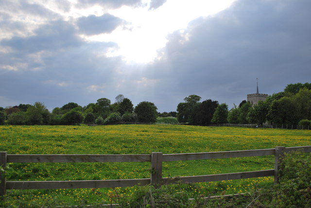
Image: © Robert Matin Taken: 10 May 2009
View of grazing land next to St Marys taken from public road
Images are licensed for reuse under creativecommons.org/licenses/by-sa/2.0
Image Location
Latitude
51.973409
Longitude
-0.333503