Philanthropic Road, Redhill
Introduction
The photograph on this page of Philanthropic Road, Redhill by Rib as part of the Geograph project.
The Geograph project started in 2005 with the aim of publishing, organising and preserving representative images for every square kilometre of Great Britain, Ireland and the Isle of Man.

There are currently over 7.5m images from over 14,400 individuals and you can help contribute to the project by visiting https://www.geograph.org.uk
Philanthropic Road, Redhill
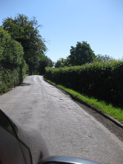
Image: © Rib Taken: 2 Jun 2009
The hedge to the right forms part of the northern boundary of Redstone Cemetery. This road (more lane than road) got its name from the formerly adjacent Philanthropic Farm School.http://www.exploringsurreyspast.org.uk/themes/subjects/schools/royal_philanthropic_society
Images are licensed for reuse under creativecommons.org/licenses/by-sa/2.0
Image Location
Latitude
51.231946
Longitude
-0.155743