St Albans: Prospect Road
Introduction
The photograph on this page of St Albans: Prospect Road by Nigel Cox as part of the Geograph project.
The Geograph project started in 2005 with the aim of publishing, organising and preserving representative images for every square kilometre of Great Britain, Ireland and the Isle of Man.

There are currently over 7.5m images from over 14,400 individuals and you can help contribute to the project by visiting https://www.geograph.org.uk
St Albans: Prospect Road
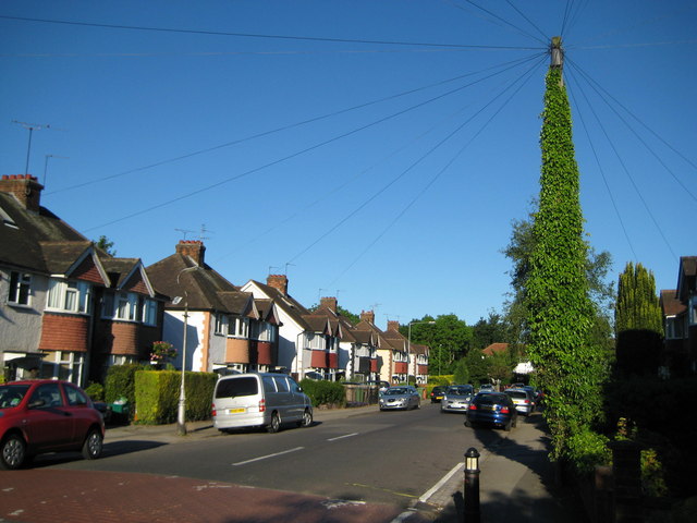
Image: © Nigel Cox Taken: 29 May 2009
The houses at the eastern end of Prospect Road are mainly bay-fronted between-the-wars semis, but the totally vegetation-clad telegraph pole with its massed ranks of radiating cables was something different!
Images are licensed for reuse under creativecommons.org/licenses/by-sa/2.0
Image Location
Latitude
51.744174
Longitude
-0.337461