The Soke, New Alresford
Introduction
The photograph on this page of The Soke, New Alresford by Stephen McKay as part of the Geograph project.
The Geograph project started in 2005 with the aim of publishing, organising and preserving representative images for every square kilometre of Great Britain, Ireland and the Isle of Man.

There are currently over 7.5m images from over 14,400 individuals and you can help contribute to the project by visiting https://www.geograph.org.uk
The Soke, New Alresford
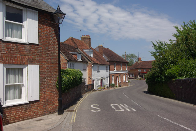
Image: © Stephen McKay Taken: 24 May 2009
At the Bottom of Broad Street, the B3046 twist round to the right - a stretch called The Soke - forming a classically picturesque townscape.
Images are licensed for reuse under creativecommons.org/licenses/by-sa/2.0
Image Location
Latitude
51.092941
Longitude
-1.161319