Allotment gardens, Abbotts Barton
Introduction
The photograph on this page of Allotment gardens, Abbotts Barton by Stephen McKay as part of the Geograph project.
The Geograph project started in 2005 with the aim of publishing, organising and preserving representative images for every square kilometre of Great Britain, Ireland and the Isle of Man.

There are currently over 7.5m images from over 14,400 individuals and you can help contribute to the project by visiting https://www.geograph.org.uk
Allotment gardens, Abbotts Barton
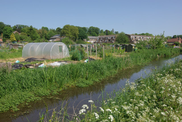
Image: © Stephen McKay Taken: 24 May 2009
Seen across the stream that runs alongside Nuns Walk, these allotments are off Edington Road at the southern end of Abbotts Barton.
Images are licensed for reuse under creativecommons.org/licenses/by-sa/2.0
Image Location
Latitude
51.071441
Longitude
-1.311431