Vale of Tullos in May 2009
Introduction
The photograph on this page of Vale of Tullos in May 2009 by Peter Robinson as part of the Geograph project.
The Geograph project started in 2005 with the aim of publishing, organising and preserving representative images for every square kilometre of Great Britain, Ireland and the Isle of Man.

There are currently over 7.5m images from over 14,400 individuals and you can help contribute to the project by visiting https://www.geograph.org.uk
Vale of Tullos in May 2009
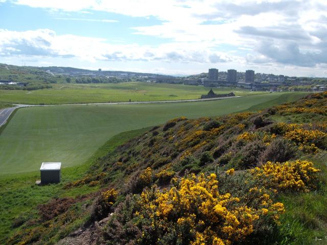
Image: © Peter Robinson Taken: Unknown
Note the Gorse is out and a new woodland has been planted to the left of the photo
Images are licensed for reuse under creativecommons.org/licenses/by-sa/2.0
Image Location
Latitude
57.131757
Longitude
-2.068373