Low-lying land near Crocketford
Introduction
The photograph on this page of Low-lying land near Crocketford by Oliver Dixon as part of the Geograph project.
The Geograph project started in 2005 with the aim of publishing, organising and preserving representative images for every square kilometre of Great Britain, Ireland and the Isle of Man.

There are currently over 7.5m images from over 14,400 individuals and you can help contribute to the project by visiting https://www.geograph.org.uk
Low-lying land near Crocketford
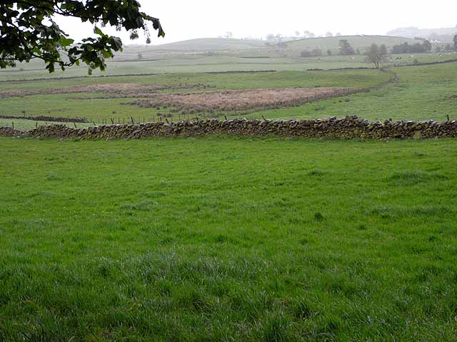
Image: © Oliver Dixon Taken: 23 May 2009
To the north-east of Crocketford, and at the west end of Larglea Moss, the name of the nearby farm, Bogfoot, gives an indication of the type of terrain.
Images are licensed for reuse under creativecommons.org/licenses/by-sa/2.0
Image Location
Latitude
55.040916
Longitude
-3.827624