Station Road
Introduction
The photograph on this page of Station Road by Simon Carey as part of the Geograph project.
The Geograph project started in 2005 with the aim of publishing, organising and preserving representative images for every square kilometre of Great Britain, Ireland and the Isle of Man.

There are currently over 7.5m images from over 14,400 individuals and you can help contribute to the project by visiting https://www.geograph.org.uk
Station Road
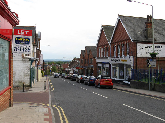
Image: © Simon Carey Taken: 23 May 2009
Heading south from the High Street and lined with a few shops near the top end. Heathfield's position on a high ridge can be seen from the distant view as the Weald falls away and the faint line of the South Downs can be seen on the horizon.
Images are licensed for reuse under creativecommons.org/licenses/by-sa/2.0
Image Location
Latitude
50.970405
Longitude
0.250788