The Street, Shackleford, Surrey
Introduction
The photograph on this page of The Street, Shackleford, Surrey by John Leeming as part of the Geograph project.
The Geograph project started in 2005 with the aim of publishing, organising and preserving representative images for every square kilometre of Great Britain, Ireland and the Isle of Man.

There are currently over 7.5m images from over 14,400 individuals and you can help contribute to the project by visiting https://www.geograph.org.uk
The Street, Shackleford, Surrey
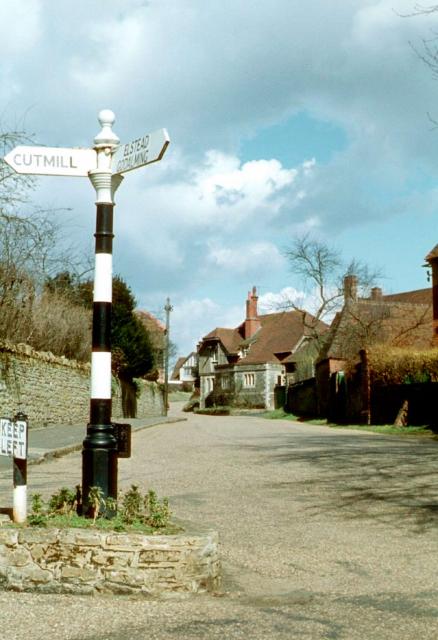
Image: © John Leeming Taken: Unknown
The junction with Lombard Street in 1962, a scene which has changed little in the past half-century.
Images are licensed for reuse under creativecommons.org/licenses/by-sa/2.0
Image Location
Latitude
51.201977
Longitude
-0.663519