Smith Avenue
Introduction
The photograph on this page of Smith Avenue by Stephen Branley as part of the Geograph project.
The Geograph project started in 2005 with the aim of publishing, organising and preserving representative images for every square kilometre of Great Britain, Ireland and the Isle of Man.

There are currently over 7.5m images from over 14,400 individuals and you can help contribute to the project by visiting https://www.geograph.org.uk
Smith Avenue
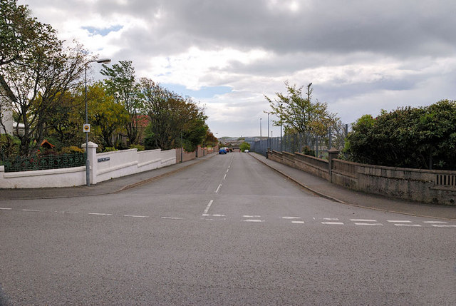
Image: © Stephen Branley Taken: 19 May 2009
Smith Avenue runs off Goathill Road down to Sandwick Road. The Nicolson Institute artificial playing surface is behind the bush on the right.
Images are licensed for reuse under creativecommons.org/licenses/by-sa/2.0
Image Location
Latitude
58.211992
Longitude
-6.378244