Stornoway High Church
Introduction
The photograph on this page of Stornoway High Church by Stephen Branley as part of the Geograph project.
The Geograph project started in 2005 with the aim of publishing, organising and preserving representative images for every square kilometre of Great Britain, Ireland and the Isle of Man.

There are currently over 7.5m images from over 14,400 individuals and you can help contribute to the project by visiting https://www.geograph.org.uk
Stornoway High Church
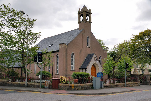
Image: © Stephen Branley Taken: 19 May 2009
As churches go here on the island this is one of the better looking ones mainly owing to the fine bell tower. Known as the United Free High Church it's celebrating its centenary as the ministry took possession of the church building in July 1909. It sits at the junction of Matheson Road and Goathill Road and is viewed from the junction of Matheson Road and Church Street.
Images are licensed for reuse under creativecommons.org/licenses/by-sa/2.0
Image Location
Latitude
58.210873
Longitude
-6.382025