Permissive Path, Jiggers Bank
Introduction
The photograph on this page of Permissive Path, Jiggers Bank by Mike White as part of the Geograph project.
The Geograph project started in 2005 with the aim of publishing, organising and preserving representative images for every square kilometre of Great Britain, Ireland and the Isle of Man.

There are currently over 7.5m images from over 14,400 individuals and you can help contribute to the project by visiting https://www.geograph.org.uk
Permissive Path, Jiggers Bank
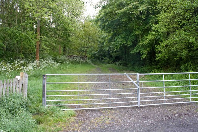
Image: © Mike White Taken: 17 May 2009
The public is invited to walk through the woods on this winding forestry track, which isn't on the map.
Images are licensed for reuse under creativecommons.org/licenses/by-sa/2.0
Image Location
Latitude
52.644049
Longitude
-2.493582