Footpath through horse-paddocks
Introduction
The photograph on this page of Footpath through horse-paddocks by Will Lovell as part of the Geograph project.
The Geograph project started in 2005 with the aim of publishing, organising and preserving representative images for every square kilometre of Great Britain, Ireland and the Isle of Man.

There are currently over 7.5m images from over 14,400 individuals and you can help contribute to the project by visiting https://www.geograph.org.uk
Footpath through horse-paddocks
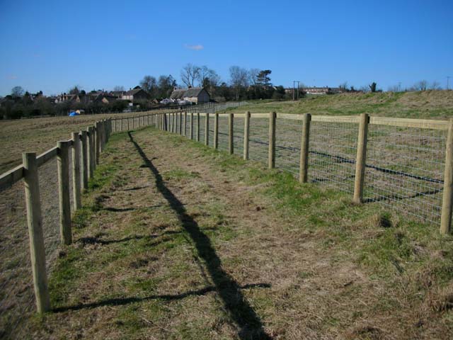
Image: © Will Lovell Taken: 1 Mar 2006
The pasture on the edge of Woodford has been divided into horsey-culture paddocks, and the walker confined between fences. The terrace of St John's Mansion (long demolished) can be seen on the right.
Images are licensed for reuse under creativecommons.org/licenses/by-sa/2.0
Image Location


Leaflet Map data © OpenStreetMap
Latitude
52.382122
Longitude
-0.571961