Towards Sandyford Toll
Introduction
The photograph on this page of Towards Sandyford Toll by Mary and Angus Hogg as part of the Geograph project.
The Geograph project started in 2005 with the aim of publishing, organising and preserving representative images for every square kilometre of Great Britain, Ireland and the Isle of Man.

There are currently over 7.5m images from over 14,400 individuals and you can help contribute to the project by visiting https://www.geograph.org.uk
Towards Sandyford Toll
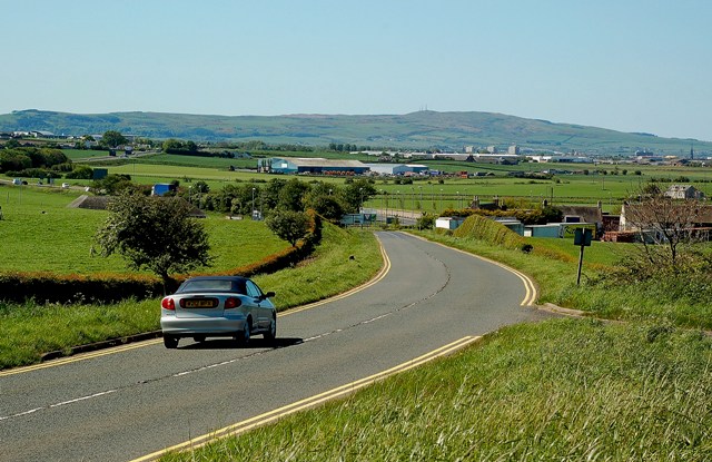
Image: © Mary and Angus Hogg Taken: 12 May 2009
Looking down the A719 from the large lay-by on the right, towards Sandyford Toll. This is a well-used lay-by, especially when there are any interesting aircraft at Prestwick Airport, in the next few squares. Brown Carrick Hill is on the skyline, with its 3 radio masts making it a prominent local landmark.
Images are licensed for reuse under creativecommons.org/licenses/by-sa/2.0
Image Location
Latitude
55.499672
Longitude
-4.562132