Subterranean trespass
Introduction
The photograph on this page of Subterranean trespass by Richard Webb as part of the Geograph project.
The Geograph project started in 2005 with the aim of publishing, organising and preserving representative images for every square kilometre of Great Britain, Ireland and the Isle of Man.

There are currently over 7.5m images from over 14,400 individuals and you can help contribute to the project by visiting https://www.geograph.org.uk
Subterranean trespass
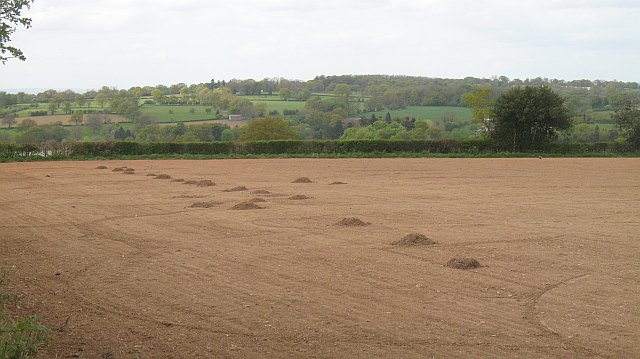
Image: © Richard Webb Taken: 2 May 2009
You get your field all tidy, cultivated and rolled and then guess who turns up. Mole damage at Whyle.
Images are licensed for reuse under creativecommons.org/licenses/by-sa/2.0
Image Location


Leaflet Map data © OpenStreetMap
Latitude
52.239139
Longitude
-2.642256