Talla Nan Ros (Hall of the Roses)
Introduction
The photograph on this page of Talla Nan Ros (Hall of the Roses) by Kenneth Allen as part of the Geograph project.
The Geograph project started in 2005 with the aim of publishing, organising and preserving representative images for every square kilometre of Great Britain, Ireland and the Isle of Man.

There are currently over 7.5m images from over 14,400 individuals and you can help contribute to the project by visiting https://www.geograph.org.uk
Talla Nan Ros (Hall of the Roses)
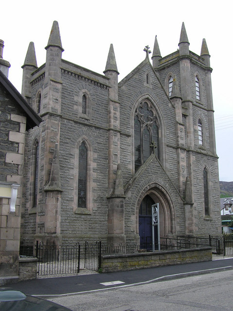
Image: © Kenneth Allen Taken: 29 Apr 2009
Formerly known as Church House, it is located at King Street Kingussie.
Images are licensed for reuse under creativecommons.org/licenses/by-sa/2.0
Image Location
Latitude
57.079309
Longitude
-4.052112