Footpaths across open land near Ewood Park
Introduction
The photograph on this page of Footpaths across open land near Ewood Park by Kenneth Yarham as part of the Geograph project.
The Geograph project started in 2005 with the aim of publishing, organising and preserving representative images for every square kilometre of Great Britain, Ireland and the Isle of Man.

There are currently over 7.5m images from over 14,400 individuals and you can help contribute to the project by visiting https://www.geograph.org.uk
Footpaths across open land near Ewood Park
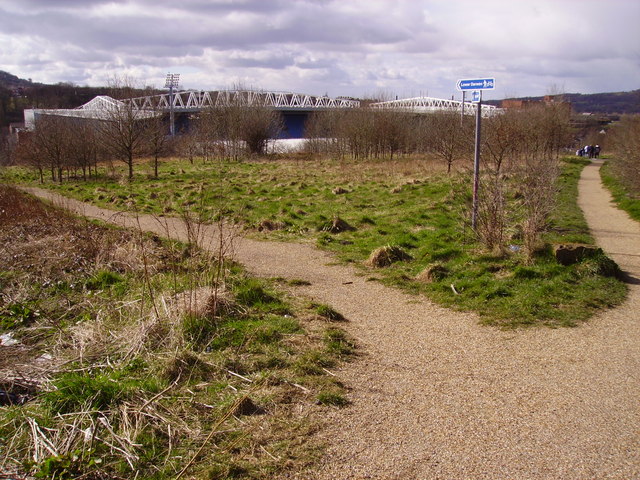
Image: © Kenneth Yarham Taken: 5 Apr 2007
The scrubby area between the River Darwen and the railway from Blackburn to Darwen, with Blackburn Rovers' Ewood Park Stadium beyond the river.
Images are licensed for reuse under creativecommons.org/licenses/by-sa/2.0
Image Location
Latitude
53.72842
Longitude
-2.486191