St.Katharine Docks - Boats
Introduction
The photograph on this page of St.Katharine Docks - Boats by Peter Trimming as part of the Geograph project.
The Geograph project started in 2005 with the aim of publishing, organising and preserving representative images for every square kilometre of Great Britain, Ireland and the Isle of Man.

There are currently over 7.5m images from over 14,400 individuals and you can help contribute to the project by visiting https://www.geograph.org.uk
St.Katharine Docks - Boats
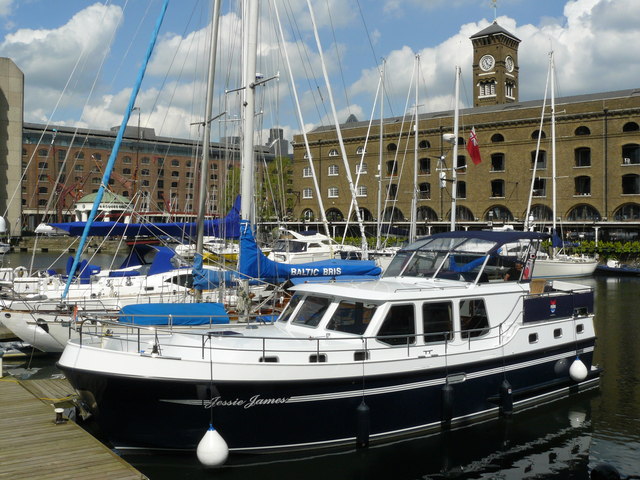
Image: © Peter Trimming Taken: 1 May 2009
The Ivory House can be seen beyond the boats in the foreground. http://www.skdocks.co.uk/index.html
Images are licensed for reuse under creativecommons.org/licenses/by-sa/2.0
Image Location
Latitude
51.507205
Longitude
-0.071446