Lower Heys, Warley
Introduction
The photograph on this page of Lower Heys, Warley by Humphrey Bolton as part of the Geograph project.
The Geograph project started in 2005 with the aim of publishing, organising and preserving representative images for every square kilometre of Great Britain, Ireland and the Isle of Man.

There are currently over 7.5m images from over 14,400 individuals and you can help contribute to the project by visiting https://www.geograph.org.uk
Lower Heys, Warley
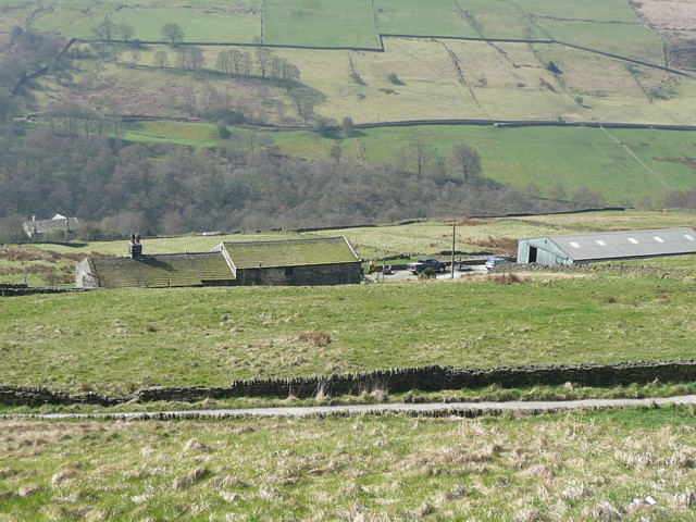
Image: © Humphrey Bolton Taken: 2 Apr 2009
A farm built on the hillside, its position perhaps chosen to be at a spring. The view is down into the valley of Luddenden Brook.
Images are licensed for reuse under creativecommons.org/licenses/by-sa/2.0
Image Location
Latitude
53.755553
Longitude
-1.952947