The Centenary Way in Norton
Introduction
The photograph on this page of The Centenary Way in Norton by Peter Church as part of the Geograph project.
The Geograph project started in 2005 with the aim of publishing, organising and preserving representative images for every square kilometre of Great Britain, Ireland and the Isle of Man.

There are currently over 7.5m images from over 14,400 individuals and you can help contribute to the project by visiting https://www.geograph.org.uk
The Centenary Way in Norton
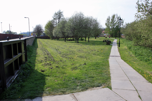
Image: © Peter Church Taken: 24 Apr 2009
The Centenary Way is a long distance footpath (83 miles) which links York with the Yorkshire Wolds Way and the Cleveland Way. See http://www.ldwa.org.uk/ldp/members/show_path.php?path_id=64 for walking information. The route was devised to celebrate the 100th anniversary of Yorkshire County Council.
Images are licensed for reuse under creativecommons.org/licenses/by-sa/2.0
Image Location
Latitude
54.132766
Longitude
-0.794447