Dulwich Park
Introduction
The photograph on this page of Dulwich Park by PAUL FARMER as part of the Geograph project.
The Geograph project started in 2005 with the aim of publishing, organising and preserving representative images for every square kilometre of Great Britain, Ireland and the Isle of Man.

There are currently over 7.5m images from over 14,400 individuals and you can help contribute to the project by visiting https://www.geograph.org.uk
Dulwich Park
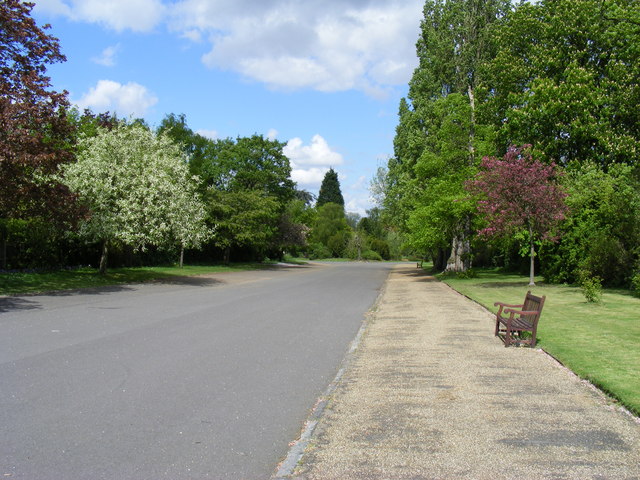
Image: © PAUL FARMER Taken: 25 Apr 2009
View from Queen Mary's gate. Dulwich Park was created in 1890, it started life as farmland and a group of meadows known as ‘five fields’, many of the ancient Oaks, which were used as boundary markers, survive today
Images are licensed for reuse under creativecommons.org/licenses/by-sa/2.0
Image Location
Latitude
51.444511
Longitude
-0.081428