Towards the end of Chapel Lane
Introduction
The photograph on this page of Towards the end of Chapel Lane by Andrew Hill as part of the Geograph project.
The Geograph project started in 2005 with the aim of publishing, organising and preserving representative images for every square kilometre of Great Britain, Ireland and the Isle of Man.

There are currently over 7.5m images from over 14,400 individuals and you can help contribute to the project by visiting https://www.geograph.org.uk
Towards the end of Chapel Lane
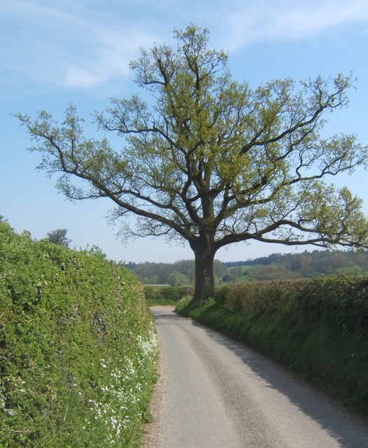
Image: © Andrew Hill Taken: 21 Apr 2009
The little lane passes a final specimen tree before reaching the junction with Marsh Road.
Images are licensed for reuse under creativecommons.org/licenses/by-sa/2.0
Image Location
Latitude
51.995267
Longitude
0.943128