East end of St Mary's parish church, Sandbach
Introduction
The photograph on this page of East end of St Mary's parish church, Sandbach by Stephen Craven as part of the Geograph project.
The Geograph project started in 2005 with the aim of publishing, organising and preserving representative images for every square kilometre of Great Britain, Ireland and the Isle of Man.

There are currently over 7.5m images from over 14,400 individuals and you can help contribute to the project by visiting https://www.geograph.org.uk
East end of St Mary's parish church, Sandbach
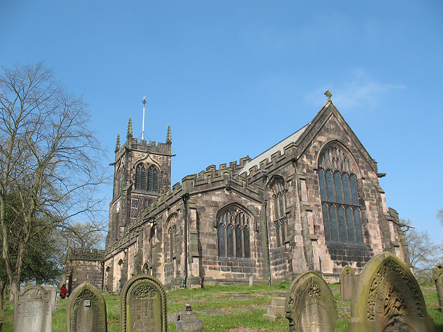
Image: © Stephen Craven Taken: 19 Apr 2009
The parish church of St Mary is built on a low hill overlooking the Dingle Brook, the "sandy stream" that gave Sandbach its name. This is the clearest view of the church; other viewpoints are obscured by trees. See Image for an earlier image from 1989.
Images are licensed for reuse under creativecommons.org/licenses/by-sa/2.0
Image Location
Latitude
53.143439
Longitude
-2.360703