Borehamwood: Tykes Water and Leeming Park
Introduction
The photograph on this page of Borehamwood: Tykes Water and Leeming Park by Nigel Cox as part of the Geograph project.
The Geograph project started in 2005 with the aim of publishing, organising and preserving representative images for every square kilometre of Great Britain, Ireland and the Isle of Man.

There are currently over 7.5m images from over 14,400 individuals and you can help contribute to the project by visiting https://www.geograph.org.uk
Borehamwood: Tykes Water and Leeming Park
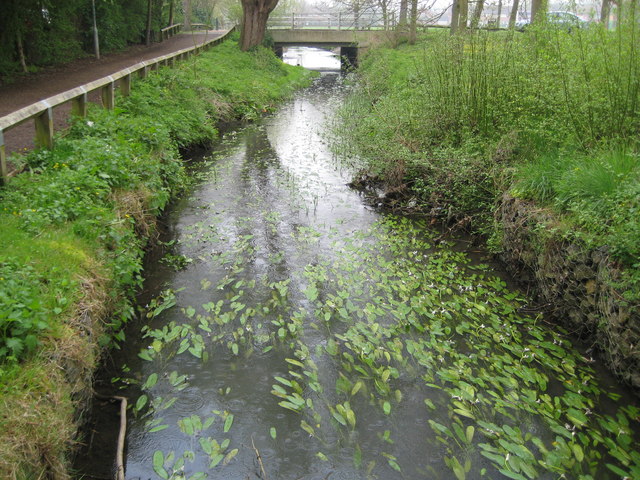
Image: © Nigel Cox Taken: 15 Apr 2009
This is Tykes Water in Leeming Park viewed looking downstream towards the Aycliffe Road bridge with what appears to be a fine collection of water lilies about to bud. Tykes Water is also known as Borehamwood Brook here.
Images are licensed for reuse under creativecommons.org/licenses/by-sa/2.0
Image Location
Latitude
51.667438
Longitude
-0.285032