Mourne view near Castlewellan
Introduction
The photograph on this page of Mourne view near Castlewellan by Albert Bridge as part of the Geograph project.
The Geograph project started in 2005 with the aim of publishing, organising and preserving representative images for every square kilometre of Great Britain, Ireland and the Isle of Man.

There are currently over 7.5m images from over 14,400 individuals and you can help contribute to the project by visiting https://www.geograph.org.uk
Mourne view near Castlewellan
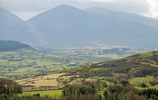
Image: © Albert Bridge Taken: 11 Apr 2009
Mourne country is nor all mountains and drystone walls. There is also pasture with hedges as can be seen in the middle of the photo. The view is from the “black” waymarked path Image in Castlewellan Forest Park.
Images are licensed for reuse under creativecommons.org/licenses/by-sa/2.0
Image Location
Latitude
54.241703
Longitude
-5.984129