Wesley Brook disappears from public sight
Introduction
The photograph on this page of Wesley Brook disappears from public sight by Mike White as part of the Geograph project.
The Geograph project started in 2005 with the aim of publishing, organising and preserving representative images for every square kilometre of Great Britain, Ireland and the Isle of Man.

There are currently over 7.5m images from over 14,400 individuals and you can help contribute to the project by visiting https://www.geograph.org.uk
Wesley Brook disappears from public sight
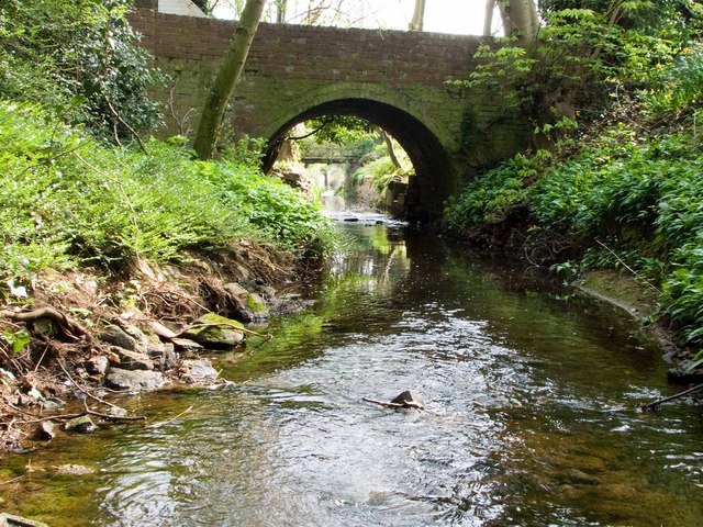
Image: © Mike White Taken: 12 Apr 2009
The arched bridge gives access to a private house and the Wesley brook here passes from the public domain into the private. Another bridge is visible through the arch.
Images are licensed for reuse under creativecommons.org/licenses/by-sa/2.0
Image Location
Latitude
52.674141
Longitude
-2.377824